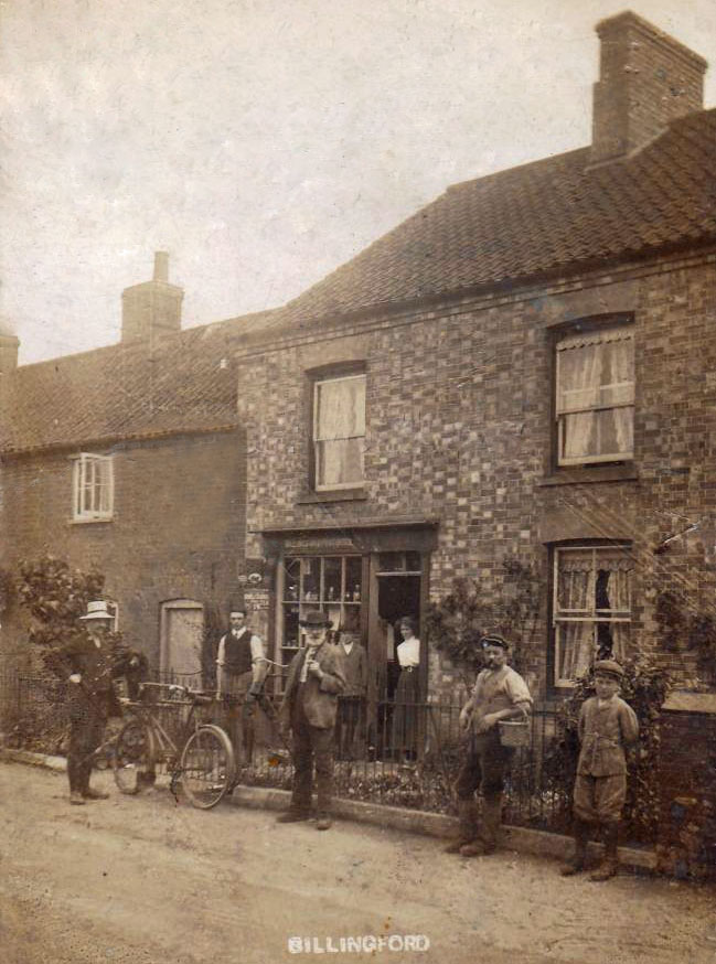
Billingford is a village and civil parish in the Breckland district of Norfolk, England, about 3 1⁄2 miles (5.6 km) north of East Dereham. The village is just north of the River Wensum, which forms the southern boundary of the parish. The village is on the B1145 road,[1] which links King’s Lynn and Mundesley. ~Wikipedia Click the postcard if you want to see an enlarged image. As can be seen, the brick face of the building is now covered. Also the adjoining building to the left is somewhat shorter. The shop window and entrance have been converted into a…
-
-
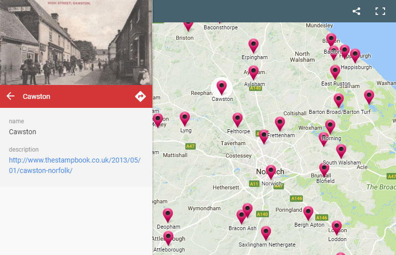
This interactive map shows the post offices I have so far mapped locations of. Click the box at the top right for a full screen view. Sadly Google removed the street view from this type of map, but each location can be clicked on to reveal a link to the page here which does have a street view.
-
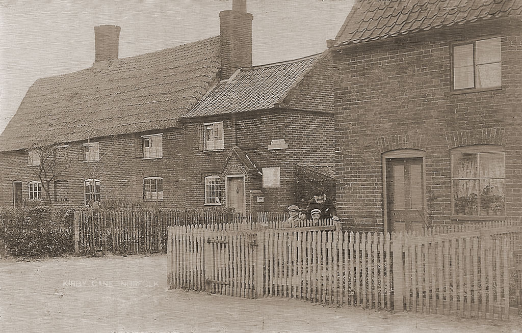
Kirby Cane is a village and civil parish situated two miles (3.2 km) north-west of Beccles in Norfolk. ~Wikipedia This is still a recognisable scene despite some alterations to the buildings. What looks like a shingle driveway in the Google image is now known as ‘Old Post Office Lane’. The location is also shown on the Ordnance Survey First Edition Map which was surveyed between 1879 and 1886. Kelly’s 1900 Directory of Norfolk shows that the postmaster at that time was a (John) Baker Flowers. He and his wife Mary appear in the 1891 Census, both aged 75. They…
-
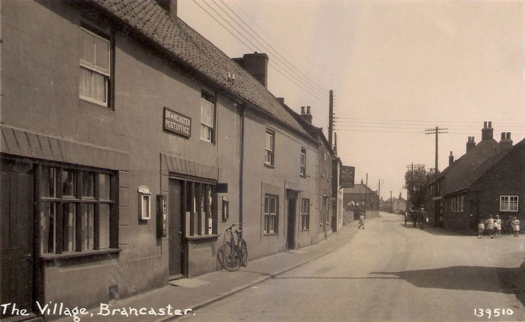
Brancaster is a village and civil parish on the north coast of the English county of Norfolk. The civil parish of Brancaster comprises Brancaster itself, together with Brancaster Staithe and Burnham Deepdale. The three villages form a more or less continuous settlement along the A149 at the edge of the Brancaster Manor marshland and the Scolt Head Island National Nature Reserve. ~Wikipedia As can be seen the buildings are still present, with a few alterations, but they are no longer serving as the town’s post office. A little further east up the road there is the ’71 Club’ which offers…