Great Yarmouth, often known to locals as Yarmouth, is a coastal town in Norfolk, England. It is located at the mouth of the River Yare, 20 miles (30 km) east of Norwich. It has been a seaside resort since 1760, and is the gateway from the Norfolk Broads to the North Sea. ~Wikipedia
-
-
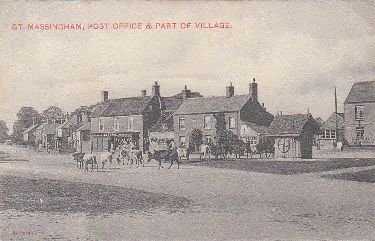
Great Massingham is a village and civil parish in the English county of Norfolk. It is also notable for the number of ponds in the village – two large ones in the village centre and more in the outskirts. ~Wikipedia
-
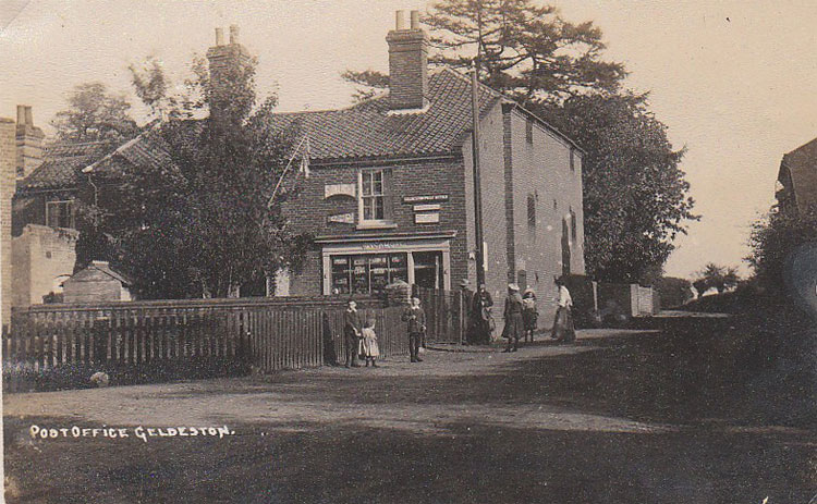
Geldeston is a parish and village in Norfolk. It is about 1 mile west of Gillingham and 2 miles north west of Beccles. Other nearby villages include Ellingham and Broome to the west. ~Wikipedia
-
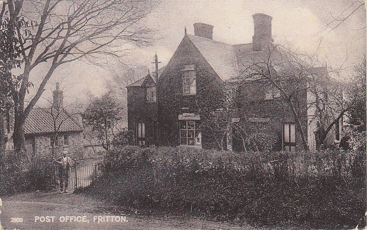
Fritton is a village in the English county of Norfolk, situated some 9 km (5.6 mi) south-west of the town of Great Yarmouth and 11 km (6.8 mi) north-west of the Suffolk town of Lowestoft. It should not be confused with the village of the same name near Morning Thorpe in Norfolk. ~Wikipedia
-
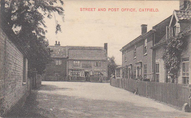
Catfield is a village and a civil parish in the English county of Norfolk. The village is 19.7 miles (31.7 km) south-east of Cromer, 17.3 miles (27.8 km) north-east of Norwich and 136 miles (219 km) north-east of London. The village lies 2.7 miles (4.3 km) south-south-east of the nearby town of Stalham. ~Wikipedia
-
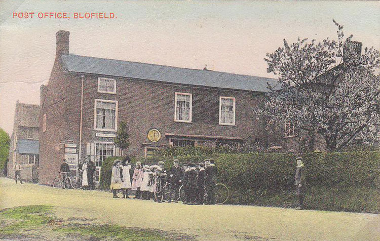
Blofield is the village and civil parish in the Broadland district of Norfolk, England. ~Wikipedia
-
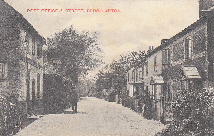
Bergh Apton is a village and civil parish in the South Norfolk district of Norfolk, England, 7 miles (11 km) south-east of Norwich just south of the A146 between Yelverton and Thurton. ~Wikipedia
-
Further to John Spencer’s comment here… John kindly sent me some images of another flaw that appears on the Falkland Island Dependencies Map set of stamps. I reproduce here the comments he sent me. Many thanks John ! Plate1 R5/1 Saunders and Harding in their Study Paper No 4 and later Goldberg gives a description for stamps in this position as: Small breaks in top frame line at either end. Defective 2nd E in WEDDELL. However, the most prominent feature is the spot on the King’s lower right cheek/chin/around his mouth. Possibly it was assumed to be a blemish or…
-
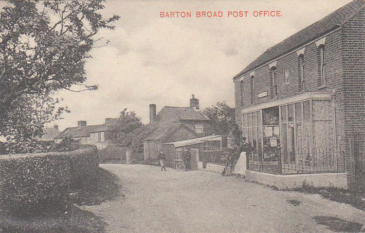
Barton Turf is a village and civil parish in the English county of Norfolk. The village is situated some 20 km north-east of the city of Norwich, on the northwestern edge of Barton Broad, the second largest broad of the Norfolk Broads. ~Wikipedia
-
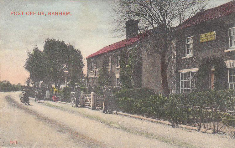
Banham is a village and civil parish in the English county of Norfolk. The village is about 7 miles (11 km) north of Diss, 12 miles (19 km) east of Thetford and 20 miles (32 km) south west of Norwich. ~Wikipedia
-
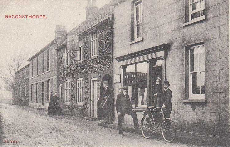
Baconsthorpe is a village and civil parish in the English county of Norfolk. It is 6 km south-east of Holt, 8 km south of Sheringham and 32 km north of Norwich. Wikipedia
-
Aylsham is a historic market town civil parish on the River Bure in north Norfolk, England, about 15 km north of Norwich. ~Wikipedia.