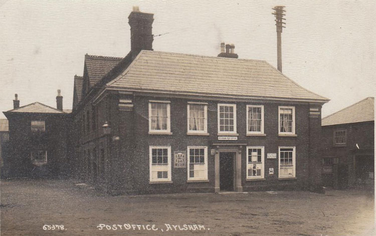
Aylsham is a historic market town civil parish on the River Bure in north Norfolk, England, about 15 km north of Norwich. ~Wikipedia.
A Postage Stamp Blog
Aylsham is a historic market town civil parish on the River Bure in north Norfolk, England, about 15 km north of Norwich. ~Wikipedia.
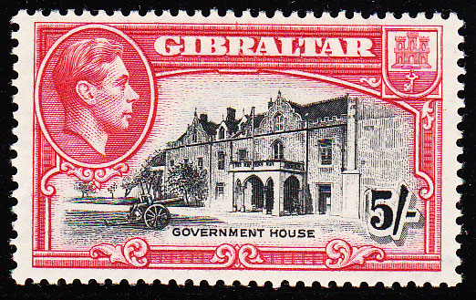
Gibraltar was known to the ancients as Mons Calpe, one of the Pillars of Hercules. Ptolemy first determined its latitude, and the correctness of his calculation is corroborated by the observations of the present day. The conspicuous form and isolated position of this rocky promontory, which stands like Nature’s monument with all its rugged steeps at the entrance to the Mediterranean Sea, made its name familiar to ancient navigators, and we find the Rock referred to and described by both Greek and Roman writers. Frederick Sayer 1865 The ‘Rock’ is less than three miles long and less than a mile…

This is an old article I found in a copy of The Straits Times from 1935. I thought it was an interesting read and it mentions a rare Gibraltar error on a sheet full of 120 stamps. It also briefly mentions Captain H. St. C. Garrood who designed the nice views of Gibraltar for the KGV definitive and later the KGVI definitives. Hopefully no one will mind me reproducing this here.
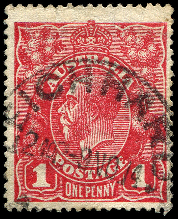
The Australian penny red KGV Head was first issued in 1914 and quickly became one of the most studied stamps on the planet. After 99 years collectors thought the issue had no more secrets – that myth was destroyed only a few short months ago. In early 2013 a Gentleman in Scotland discovered an Australian 1d Red KGV stamp (cancelled 99 years ago in suburban Sydney) which now plays a significant part in philatelic history. The Australian 1d red stamp with the King George 5th portrait is the most popular Australian stamp collected in Australia and overseas. What aspect of…
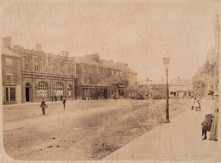
Dereham, also known as East Dereham, is a town and civil parish in the English county of Norfolk. It is situated on the A47 road, some 15 miles (25 km) west of the city of Norwich and 25 miles (40 km) east of King’s Lynn. ~Wikipedia
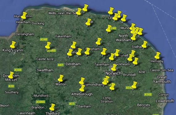
Thanks to the wonders of the modern age and Google I can present a map of the Post Offices I have so far listed in the Old Norfolk Post Offices category. Click here to open the map in a new window… or alternatively click on the map above to open it in this window/tab. Most of the places have been found in the current day, those that aren’t and maybe need a further hunt are Bacton, Erpingham, Frettenham, Hunworth and Trimingham. Once the map is open; If you click on the left menu it will highlight that Post Office with…
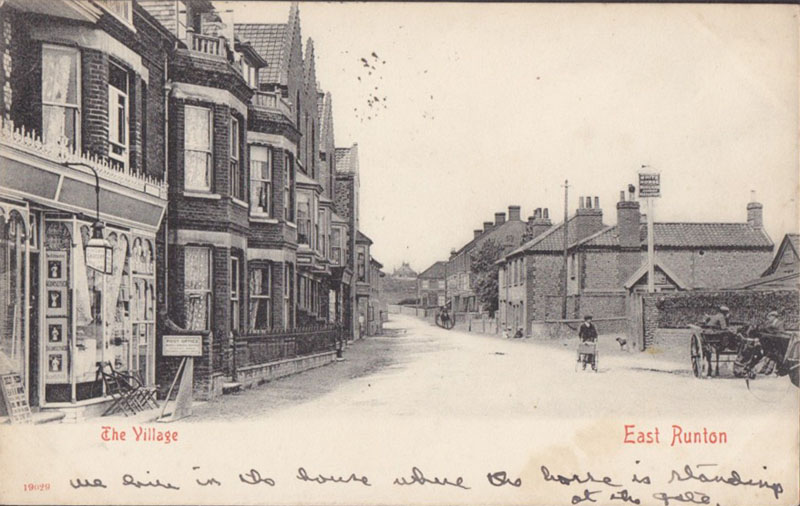
East Runton is a small village in Norfolk, England situated close to the North Sea. It was once a traditional fishing village outside Cromer but is now a popular holiday destination for camping and caravan holidays. The village is within the parish of Runton that also includes West Runton. ~WIkipedia
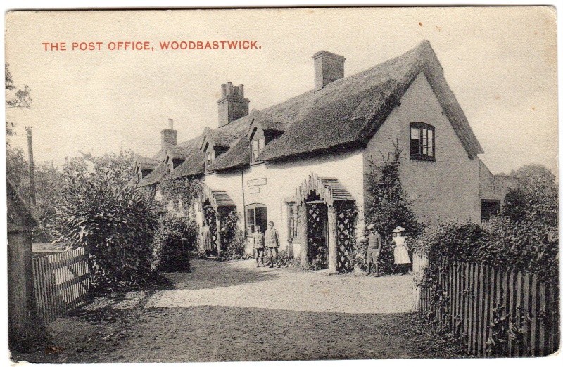
Woodbastwick is a village and civil parish in the English county of Norfolk. It is located on the River Bure between Cockshoot Broad and Salhouse Broad, within The Broads National Park and close to Bure Marshes NNR (National Nature Reserve). The city of Norwich lies 10 kilometres (6.2 mi) to the south-east. ~Wikipedia
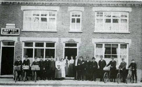
Watton is a market town in the district of Breckland within the English county of Norfolk. It is situated on the crossroads of the A1075 Dereham-Thetford road and the B1108 Brandon-Norwich Road, about 25 miles (40 km) west of Norwich. ~Wikipedia
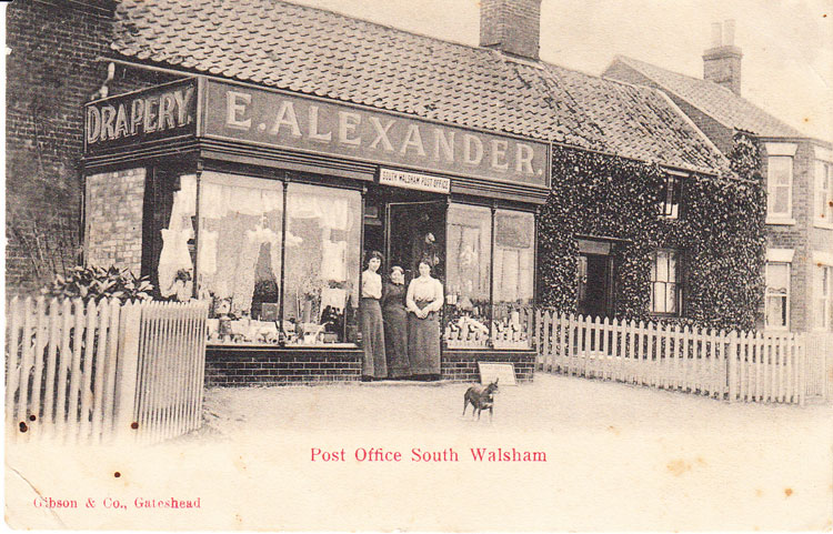
South Walsham is a village and civil parish in the English county of Norfolk. It is adjacent to South Walsham Broad. ~WIkipedia
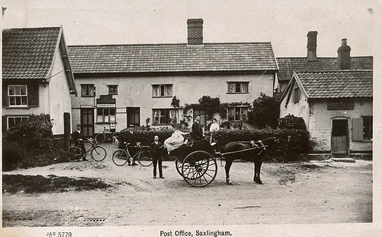
Saxlingham Nethergate is a village and civil parish in the English county of Norfolk, some 15 km (9.3 mi) south of Norwich. ~Wikipedia
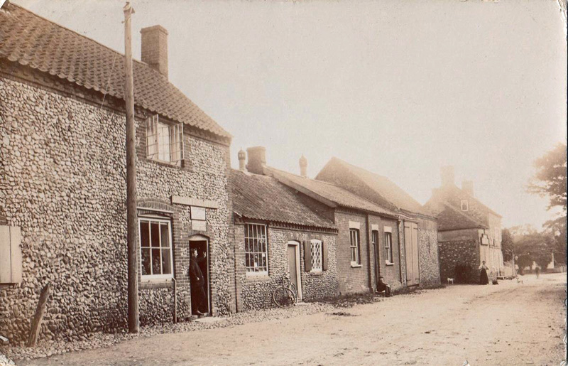
Rougham is a village and civil parish in the English county of Norfolk. The local Church is Saint Mary’s. The name “Rougham” is derived from the old English Ruhham, with ruh probably meaning rough ground, and ham, meaning village. ~Wikipedia