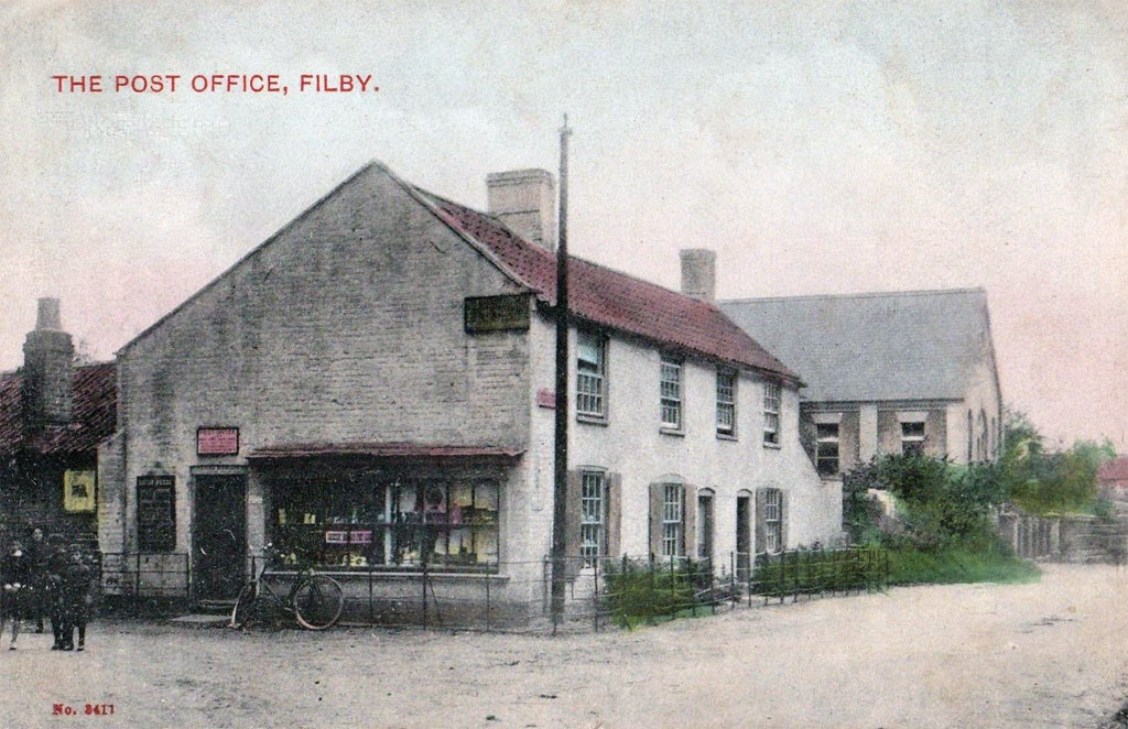
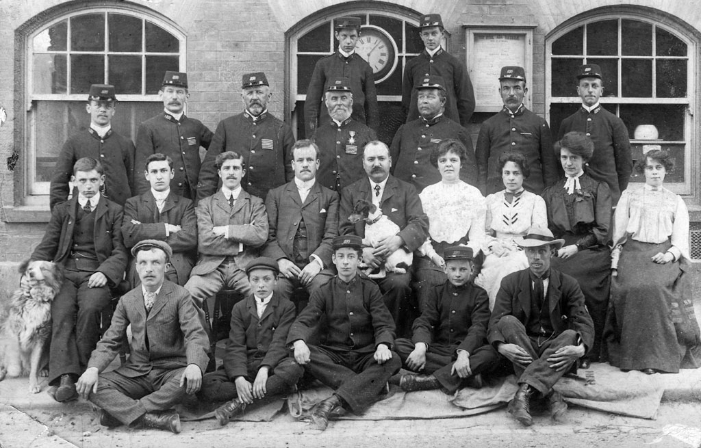
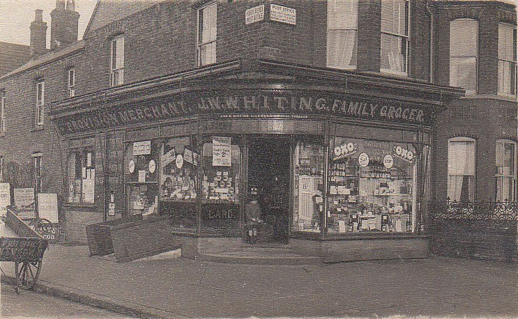
Fakenham is a market town and civil parish in Norfolk, England. It is situated on the River Wensum, about 19 miles (31 kilometres) north east of King’s Lynn, 19 miles (31 kilometres) south west of Cromer, and 25 miles (40 kilometres) north west of Norwich. ~Wikipedia Thanks to the help I gratefully received from Peter Boggis of the Fakenham Community Archive I have a lot of information on this one as well as numerous photos taken over various points in time. The location of this post office is in the street presently known as Old Post Office Street, which is…

-
-
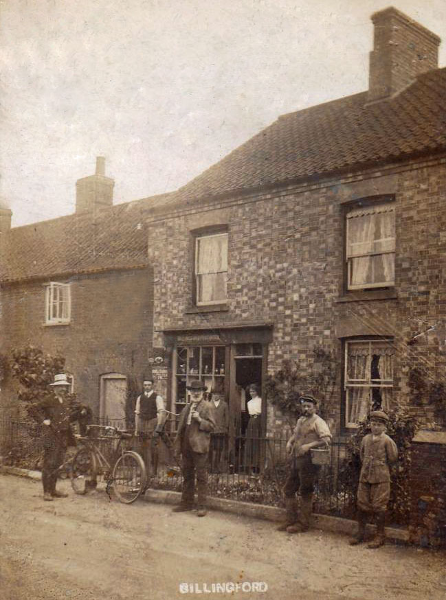
Billingford is a village and civil parish in the Breckland district of Norfolk, England, about 3 1⁄2 miles (5.6 km) north of East Dereham. The village is just north of the River Wensum, which forms the southern boundary of the parish. The village is on the B1145 road,[1] which links King’s Lynn and Mundesley. ~Wikipedia Click the postcard if you want to see an enlarged image. As can be seen, the brick face of the building is now covered. Also the adjoining building to the left is somewhat shorter. The shop window and entrance have been converted into a…
-
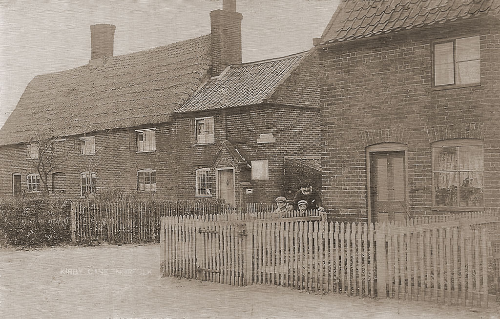
Kirby Cane is a village and civil parish situated two miles (3.2 km) north-west of Beccles in Norfolk. ~Wikipedia This is still a recognisable scene despite some alterations to the buildings. What looks like a shingle driveway in the Google image is now known as ‘Old Post Office Lane’. The location is also shown on the Ordnance Survey First Edition Map which was surveyed between 1879 and 1886. Kelly’s 1900 Directory of Norfolk shows that the postmaster at that time was a (John) Baker Flowers. He and his wife Mary appear in the 1891 Census, both aged 75. They…
-
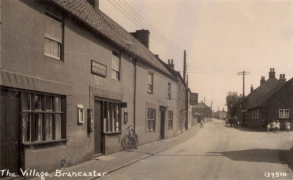
Brancaster is a village and civil parish on the north coast of the English county of Norfolk. The civil parish of Brancaster comprises Brancaster itself, together with Brancaster Staithe and Burnham Deepdale. The three villages form a more or less continuous settlement along the A149 at the edge of the Brancaster Manor marshland and the Scolt Head Island National Nature Reserve. ~Wikipedia As can be seen the buildings are still present, with a few alterations, but they are no longer serving as the town’s post office. A little further east up the road there is the ’71 Club’ which offers…
-
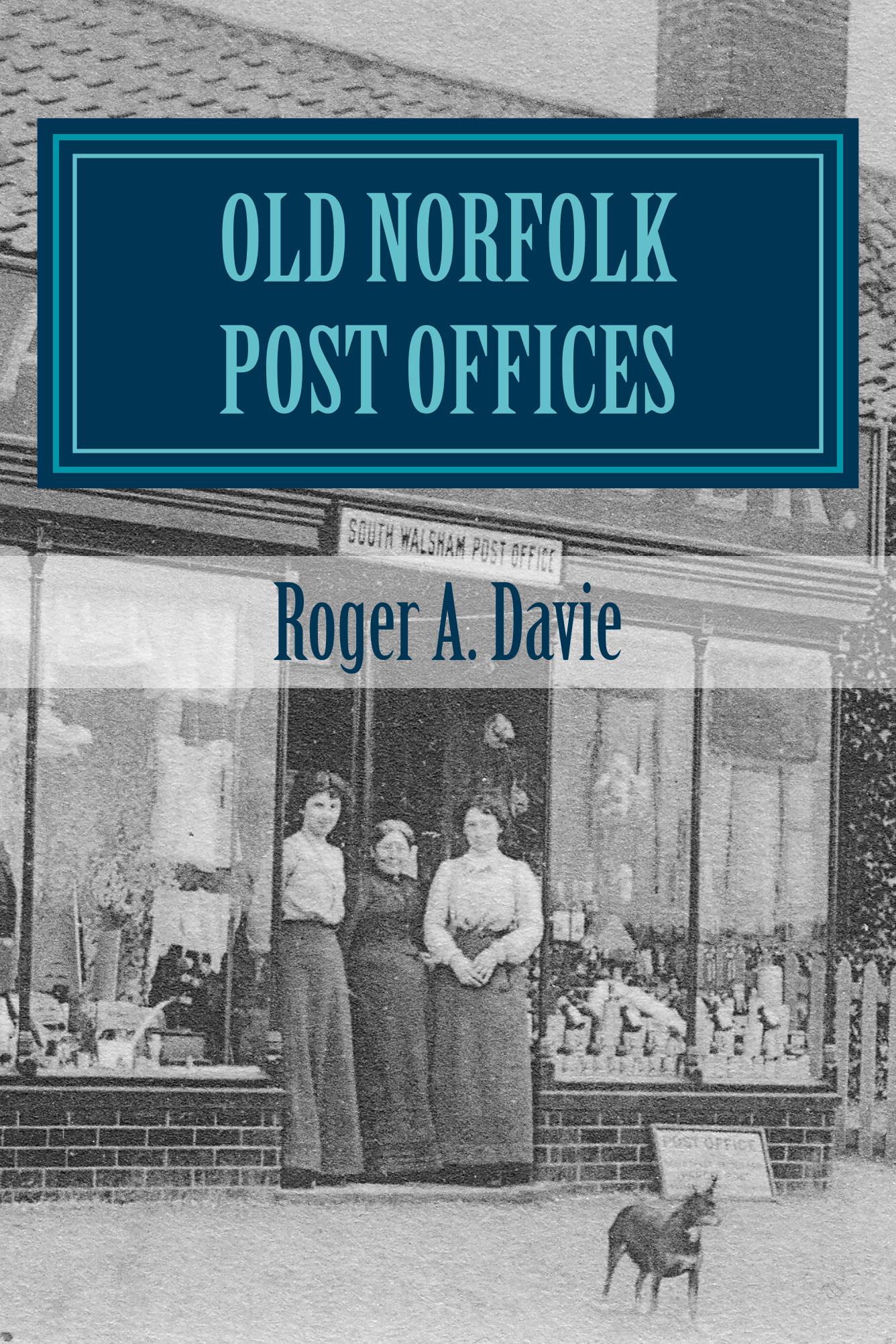
Today I am pleased to announce the launch of my new book entitled “Old Norfolk Post Offices – A Picture Postcard Tour” by Roger A. Davie. Here’s the preface from the book and some further details… Over the past few years I have been collecting postcards of old Norfolk post offices and also hunting around to see if they still exist. But this was not on foot or by car, this was a virtual tour as I did this using Google Earth – the ambitious and sometimes controversial mapping program we have all no doubt heard of by now. Finding…
-
Great Yarmouth, often known to locals as Yarmouth, is a coastal town in Norfolk, England. It is located at the mouth of the River Yare, 20 miles (30 km) east of Norwich. It has been a seaside resort since 1760, and is the gateway from the Norfolk Broads to the North Sea. ~Wikipedia
-
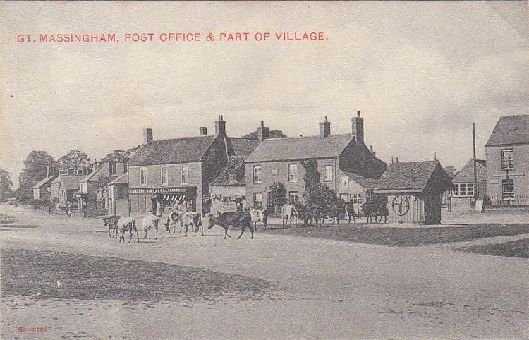
Great Massingham is a village and civil parish in the English county of Norfolk. It is also notable for the number of ponds in the village – two large ones in the village centre and more in the outskirts. ~Wikipedia
-
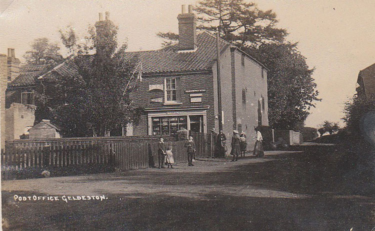
Geldeston is a parish and village in Norfolk. It is about 1 mile west of Gillingham and 2 miles north west of Beccles. Other nearby villages include Ellingham and Broome to the west. ~Wikipedia
-
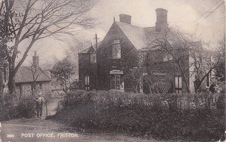
Fritton is a village in the English county of Norfolk, situated some 9 km (5.6 mi) south-west of the town of Great Yarmouth and 11 km (6.8 mi) north-west of the Suffolk town of Lowestoft. It should not be confused with the village of the same name near Morning Thorpe in Norfolk. ~Wikipedia
-
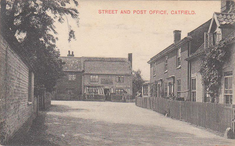
Catfield is a village and a civil parish in the English county of Norfolk. The village is 19.7 miles (31.7 km) south-east of Cromer, 17.3 miles (27.8 km) north-east of Norwich and 136 miles (219 km) north-east of London. The village lies 2.7 miles (4.3 km) south-south-east of the nearby town of Stalham. ~Wikipedia
-
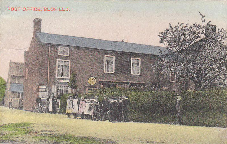
Blofield is the village and civil parish in the Broadland district of Norfolk, England. ~Wikipedia
-
Bergh Apton is a village and civil parish in the South Norfolk district of Norfolk, England, 7 miles (11 km) south-east of Norwich just south of the A146 between Yelverton and Thurton. ~Wikipedia