Bacton is a village and civil parish in Norfolk, England. It is on the Norfolk coast, some 20 km south-east of Cromer, 40 km north-west of Great Yarmouth and 30 km north of Norwich. ~Wikipedia.

A Postage Stamp Blog
Bacton is a village and civil parish in Norfolk, England. It is on the Norfolk coast, some 20 km south-east of Cromer, 40 km north-west of Great Yarmouth and 30 km north of Norwich. ~Wikipedia.
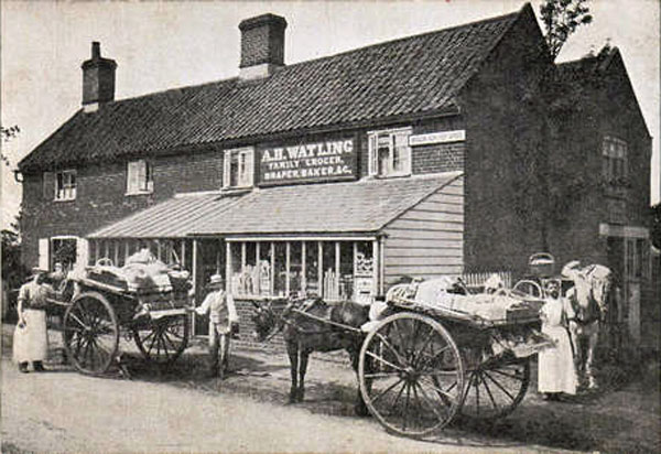
Bracon Ash is a village and civil parish in the South Norfolk district of Norfolk, England. The B1113 road runs through the village, which is about 6 1⁄2 miles (10 km) south of the city of Norwich. ~Wikipedia.
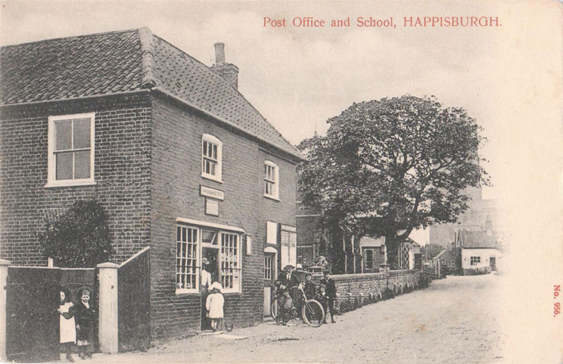
Happisburgh (hayz-bru) is a village and civil parish in the English county of Norfolk. It is situated off the B1159 coast road from Ingham to Bacton. ~Wikipedia
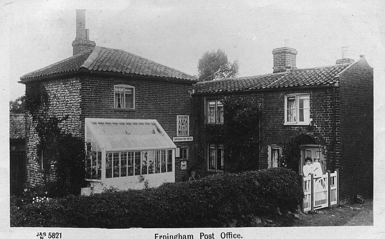
Erpingham village and parish is situated in Norfolk, 4 miles (6.4 km) to the north of Aylsham, and gives its name to the adjoining Hundred, which was held by the family of Sir Thomas Erpingham for many generations. ~Wikipedia
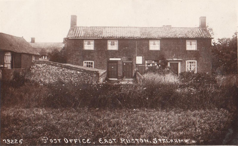
East Ruston is a village and a civil parish in the English county of Norfolk. The village is 17.5 miles (28.2 km) North East of Norwich, 14.7 miles (23.7 km) South East of Cromer and 136 miles (219 km) north-east of London. The village lies 5.2 miles (8.4 km) East of the town of North Walsham. ~Wikipedia
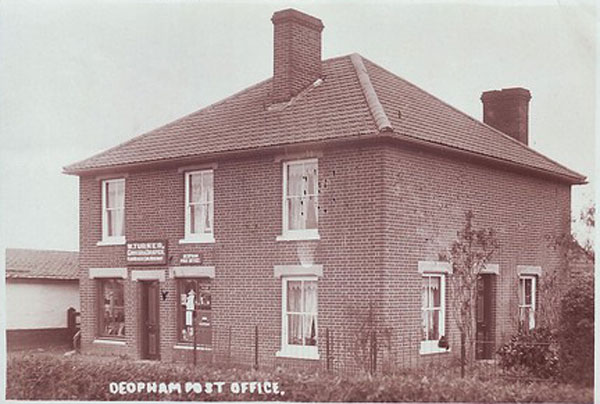
Deopham is a village in Norfolk, England within the civil parish of Deopham and Hackford. It is close to the old RAF airfield of Deopham Green and the tower of its parish church is one of the tallest in the county of Norfolk. ~Wikipedia
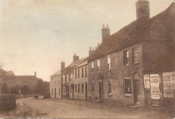
Denver is a village and civil parish in the English county of Norfolk. It is located on the River Great Ouse, 1 mile (2 km) south of the small town of Downham Market, 14 miles (22 km) south of the larger town of King’s Lynn, and 37 miles (60 km) west of the city of Norwich. ~Wikipedia
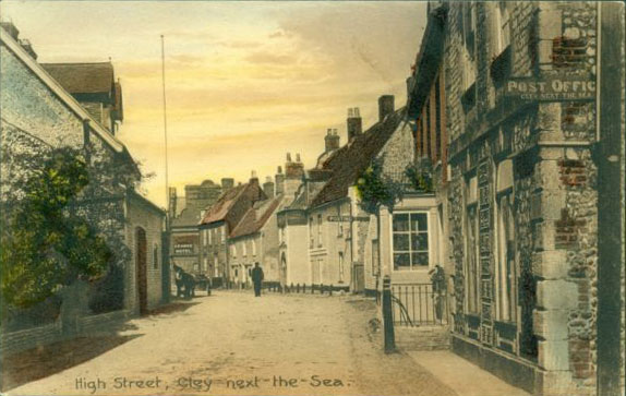
Cley next the Sea is a village on the River Glaven in Norfolk, England, 4 miles north-west of Holt and east of Blakeney. It lies within the Norfolk Coast AONB (Area of Outstanding Natural Beauty) and the North Norfolk Heritage Coast. ~Wikipedia
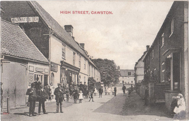
Cawston is a small village located approximately 11 miles (18 km) North of Norwich, on the B1145 a route which runs between King’s Lynn and Mundesley. Nearby villages are Reepham and Aylsham. ~Wikipedia
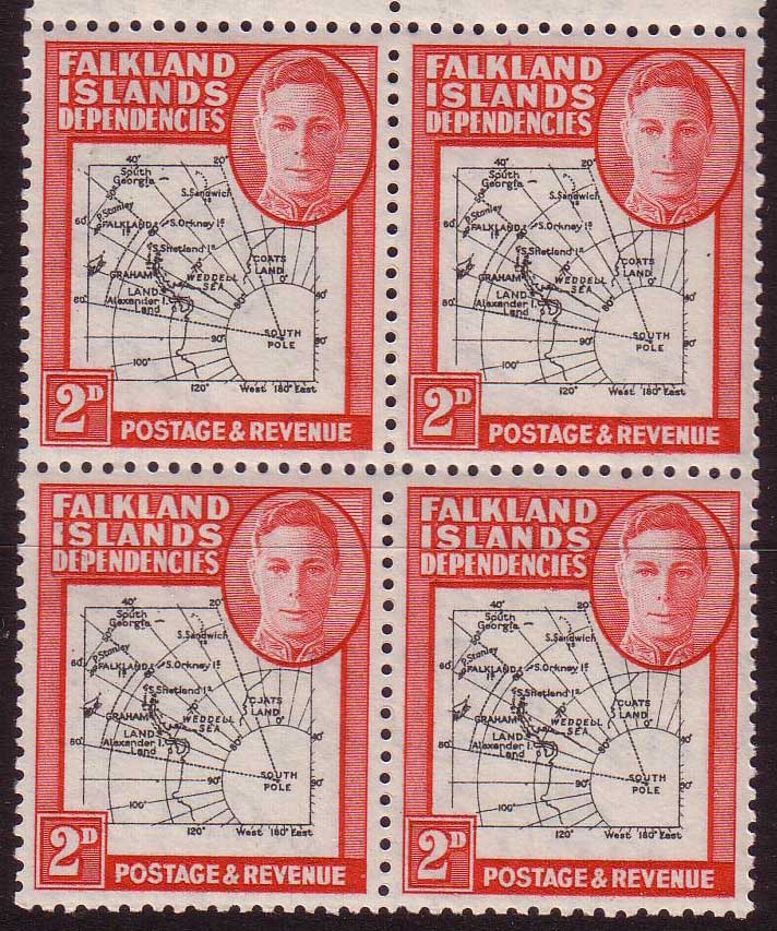
This post is going to deal with identifying some of the flaws in the Falkland Islands Dependencies ‘Map’ issues. There are two printings to deal with, commonly referred to as the thick and thin maps. Really the first thing to do is identify which set we are dealing with. The first set produced was the thick set, which ran from 12th July 1946 through to 1949. The later thin map set was introduced in 1948 and is the more valuable set in terms of money. So let us start with looking at thick and thin maps together. Here are two…
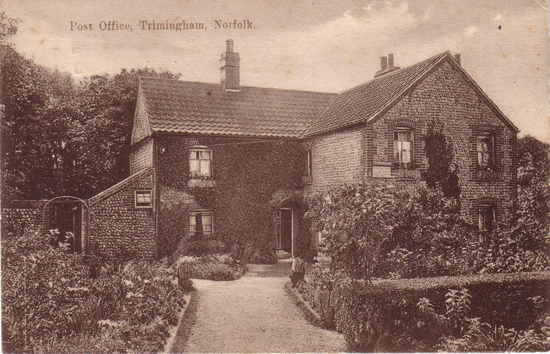
Trimingham is a village and a civil parish in the English county of Norfolk. The village is 5.9 miles (9.5 km) north of North Walsham, 6.3 miles (10.1 km) east of Cromer and 24.8 miles (39.9 km) north of the city of Norwich. ~Wikipedia
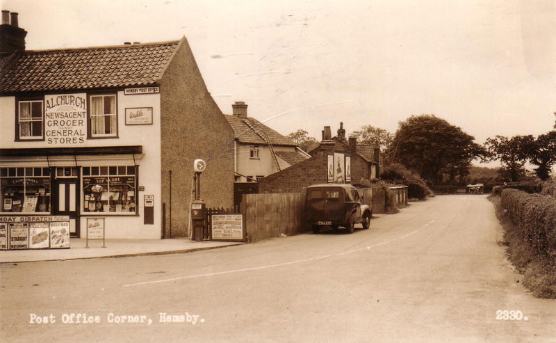
Hemsby is a village, civil parish and seaside resort in the English county of Norfolk. It is situated some 7.5 mi (12.1 km) north of the town of Great Yarmouth. Hemsby borders the villages of Winterton-on-Sea and Scratby. ~Wikipedia