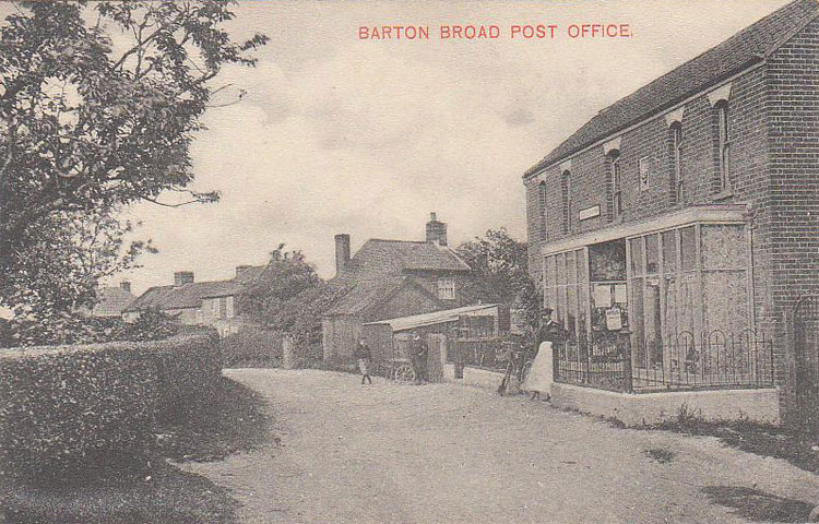
Barton Turf is a village and civil parish in the English county of Norfolk. The village is situated some 20 km north-east of the city of Norwich, on the northwestern edge of Barton Broad, the second largest broad of the Norfolk Broads. ~Wikipedia
A Postage Stamp Blog
Barton Turf is a village and civil parish in the English county of Norfolk. The village is situated some 20 km north-east of the city of Norwich, on the northwestern edge of Barton Broad, the second largest broad of the Norfolk Broads. ~Wikipedia
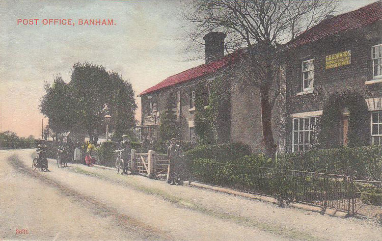
Banham is a village and civil parish in the English county of Norfolk. The village is about 7 miles (11 km) north of Diss, 12 miles (19 km) east of Thetford and 20 miles (32 km) south west of Norwich. ~Wikipedia
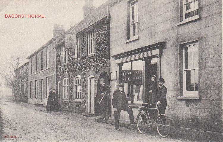
Baconsthorpe is a village and civil parish in the English county of Norfolk. It is 6 km south-east of Holt, 8 km south of Sheringham and 32 km north of Norwich. Wikipedia
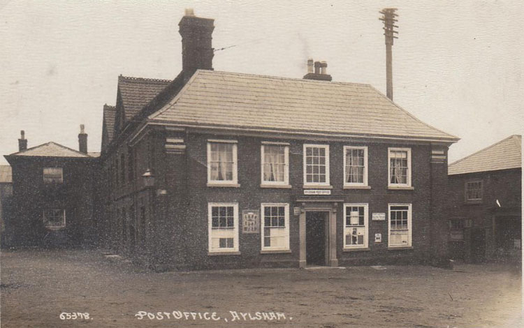
Aylsham is a historic market town civil parish on the River Bure in north Norfolk, England, about 15 km north of Norwich. ~Wikipedia.
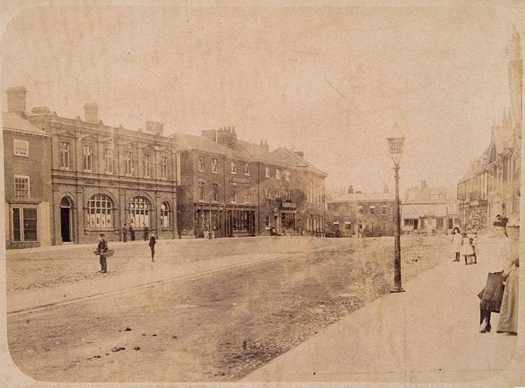
Dereham, also known as East Dereham, is a town and civil parish in the English county of Norfolk. It is situated on the A47 road, some 15 miles (25 km) west of the city of Norwich and 25 miles (40 km) east of King’s Lynn. ~Wikipedia
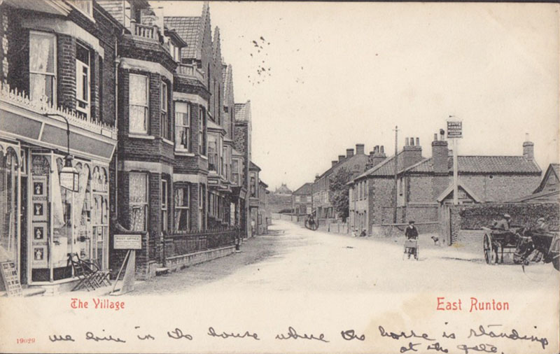
East Runton is a small village in Norfolk, England situated close to the North Sea. It was once a traditional fishing village outside Cromer but is now a popular holiday destination for camping and caravan holidays. The village is within the parish of Runton that also includes West Runton. ~WIkipedia
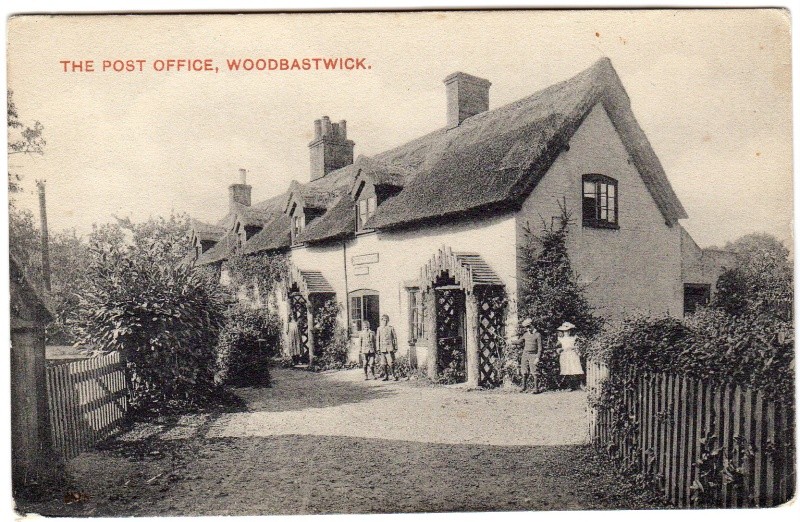
Woodbastwick is a village and civil parish in the English county of Norfolk. It is located on the River Bure between Cockshoot Broad and Salhouse Broad, within The Broads National Park and close to Bure Marshes NNR (National Nature Reserve). The city of Norwich lies 10 kilometres (6.2 mi) to the south-east. ~Wikipedia
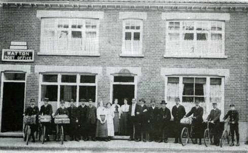
Watton is a market town in the district of Breckland within the English county of Norfolk. It is situated on the crossroads of the A1075 Dereham-Thetford road and the B1108 Brandon-Norwich Road, about 25 miles (40 km) west of Norwich. ~Wikipedia
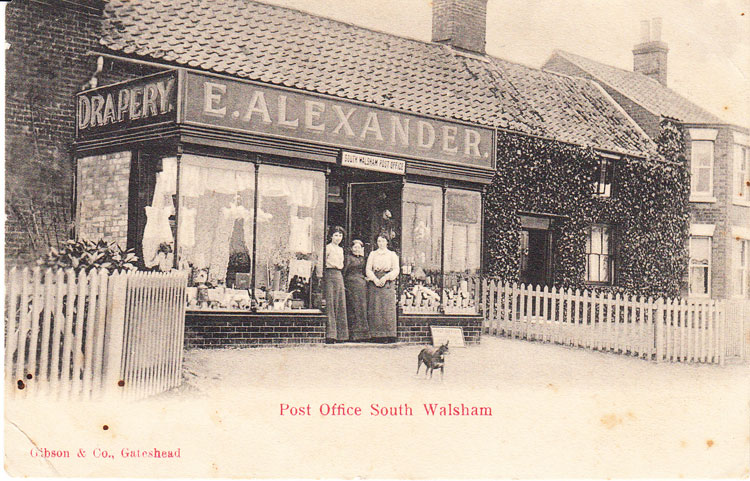
South Walsham is a village and civil parish in the English county of Norfolk. It is adjacent to South Walsham Broad. ~WIkipedia
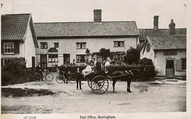
Saxlingham Nethergate is a village and civil parish in the English county of Norfolk, some 15 km (9.3 mi) south of Norwich. ~Wikipedia
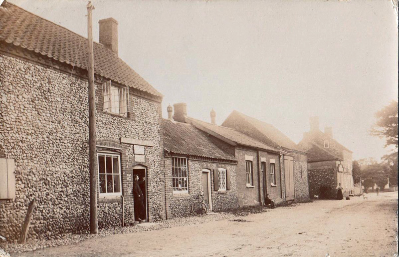
Rougham is a village and civil parish in the English county of Norfolk. The local Church is Saint Mary’s. The name “Rougham” is derived from the old English Ruhham, with ruh probably meaning rough ground, and ham, meaning village. ~Wikipedia
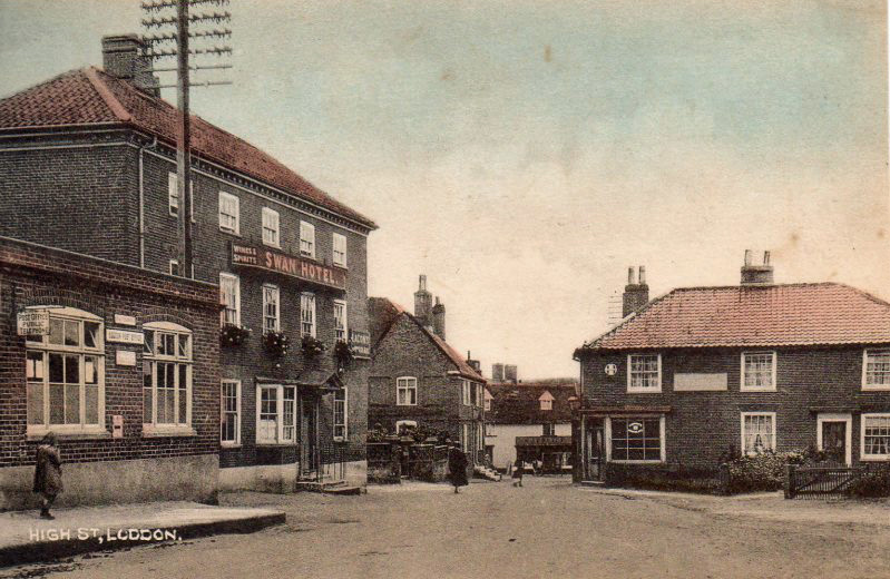
Loddon is a small market town about 12 miles (19 km) southeast of Norwich on the River Chet, a tributary of the River Yare within The Broads in Norfolk, England. The name “Loddon” is thought to mean muddy river in Celtic in reference to the Chet. ~Wikipedia