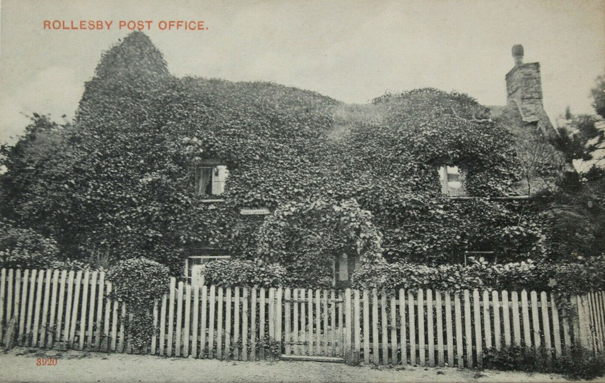
Rollesby is a village and civil parish in the English county of Norfolk. It is situated on the A149 road, adjacent to Rollesby Broad and Ormesby Broad, about 12 km (7.5 mi) north-west of the town of Great Yarmouth and 30 km (19 mi) east of the city of Norwich. ~Wikipedia Clearly the postcard shows that this post office was highly camouflaged back in the early 1900s! There was no location marked on the old OS maps but usually I find most of the old post offices around the centre of the town, this was no exception. Without the ivy…
-
-
A listing of stamps by value and type, with details of the Royal Mail products which produced each one, showing the more detailed numbering system we use. Dates of issue or discovery, and dates of printing are shown where known. A cross-reference table of the stamps based on the Stanley Gibbons catalogue is also included. The latest version includes the numbers in Gibbon’s Concise 2019. Also includes a table showing which stamps were issued in each year. This is a very useful and professional guide to identifying stamps of this type. As notified on the Stampboards forum today by Ian…
-
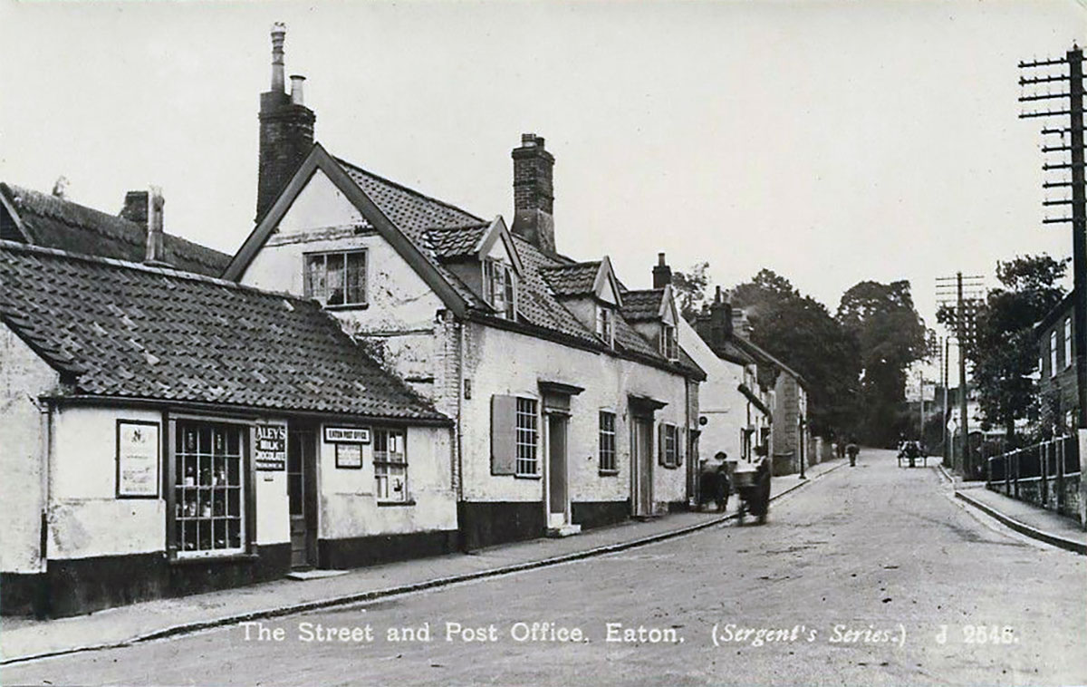
Eaton is a village and a suburb of the city of Norwich, the county town of Norfolk in the East of England. Eaton lies to the southwest of the city centre on the A11 road, the main route to London/Cambridge. ~Wikipedia In the postcard view the post office is to the right. It’s hard to tell if any of the buildings there now are the remains of the original ones, but it looks to me like it has all gone. We can tell it’s the right location as the distant building is still there. Here also is a view from…
-
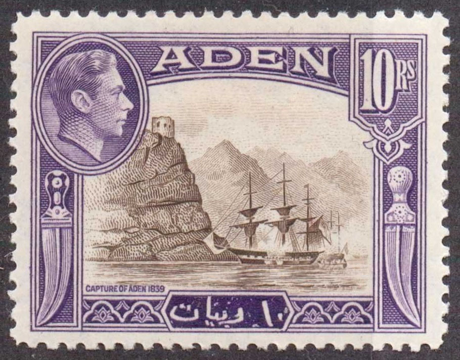
Often one of the most interesting things about many a stamp is the story it was intended to tell or the event it recollects. In this post I turn my attention towards Aden and the tale behind the KGVI 10 Rupee value from the 1939 pictorial set of stamps. First some history. In 1839 the port town of Aden was captured by the British, this being a strategic occupation to protect communication lines with India and allow the British control of the entrance to the Red Sea. Furthermore, the British wanted to secure Aden as a coaling station for the…
-
I’ve set up a Facebook page if that interests anyone. The blog posts will also get sent over there if that’s useful to readers: https://www.facebook.com/rogthestampbook/
-
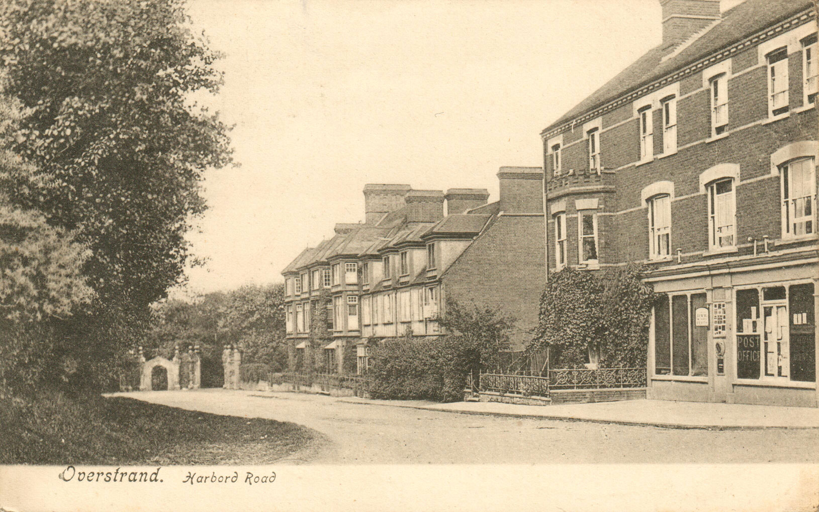
I’m adding this second image of Overstrand as it’s pointing to the other side on Harbord Road. This is from a used postcard that is dated October 1907, with a KEVII stamp. The cancel is very unclear so I haven’t included an image. There is a postmark shown in my first post for Overstrand. It can be seen that things have not changed that much in over a century. The post office (on the right) appears to be private homes now. Here’s a close up from the postcard which clearly shows the “Post Office” sign. The first edition OS map…
-
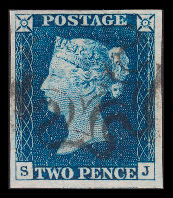
I thought I would drop this link in for future reference as it’s a well thought out and well presented guide to plating the GB QV 2d Blue. It’s published over on Stampboards and written by emason (username). This is just a short simple guide to the early twopenny blues issued between 1840 and 1858 and how to tell them apart. They were printed from only six plates (1 to 6) and determining which of these a particular stamp was printed from varies from the straightforward to the tricky. Having scans of the plates is useful, but it is possible…
-
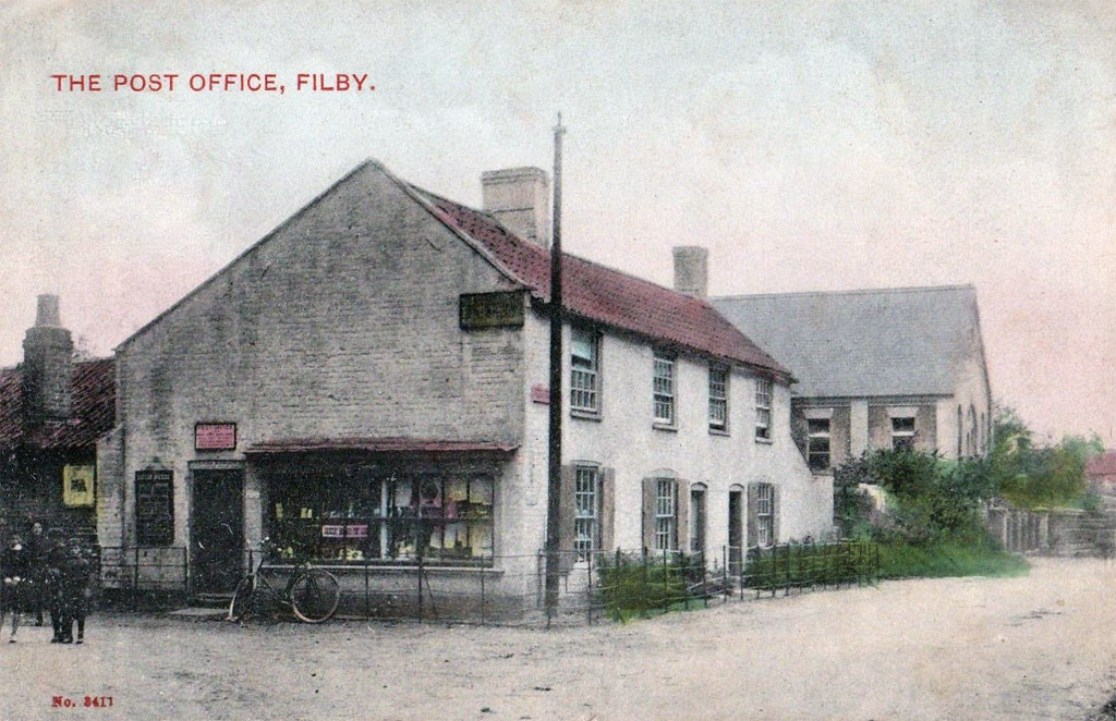
Filby is a civil parish in the English county of Norfolk. It derives its name from the Viking File the Dane, who settled in the area around AD 800. The village is situated on the shores of Filby Broad and Ormesby Little Broad, in the Broads National Park. ~Wikipedia
-
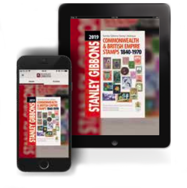
Stanley Gibbons has stepped into digital publishing this week with many catalogues now available to buy in PDF format. This means you can now view them on phones, tablets and PCs. This of course makes them somewhat more portable, especially if you always have your phone or tablet with you. Gibbons have also updated their My Collection app to make use of the 2019 Stamps of the World data set and have made a host of changes and improvements based on user feedback. Another benefit of offering digital is that the retail price is quite lower than the usual printed…
-
Fakenham is a market town and civil parish in Norfolk, England. It is situated on the River Wensum, about 19 miles (31 kilometres) north east of King’s Lynn, 19 miles (31 kilometres) south west of Cromer, and 25 miles (40 kilometres) north west of Norwich. ~Wikipedia Thanks to the help I gratefully received from Peter Boggis of the Fakenham Community Archive I have a lot of information on this one as well as numerous photos taken over various points in time. The location of this post office is in the street presently known as Old Post Office Street, which is…
-
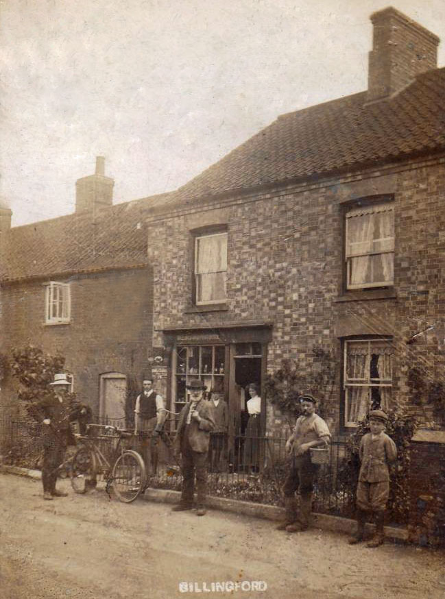
Billingford is a village and civil parish in the Breckland district of Norfolk, England, about 3 1⁄2 miles (5.6 km) north of East Dereham. The village is just north of the River Wensum, which forms the southern boundary of the parish. The village is on the B1145 road,[1] which links King’s Lynn and Mundesley. ~Wikipedia Click the postcard if you want to see an enlarged image. As can be seen, the brick face of the building is now covered. Also the adjoining building to the left is somewhat shorter. The shop window and entrance have been converted into a…
-
This interactive map shows the post offices I have so far mapped locations of. Click the box at the top right for a full screen view. Sadly Google removed the street view from this type of map, but each location can be clicked on to reveal a link to the page here which does have a street view.